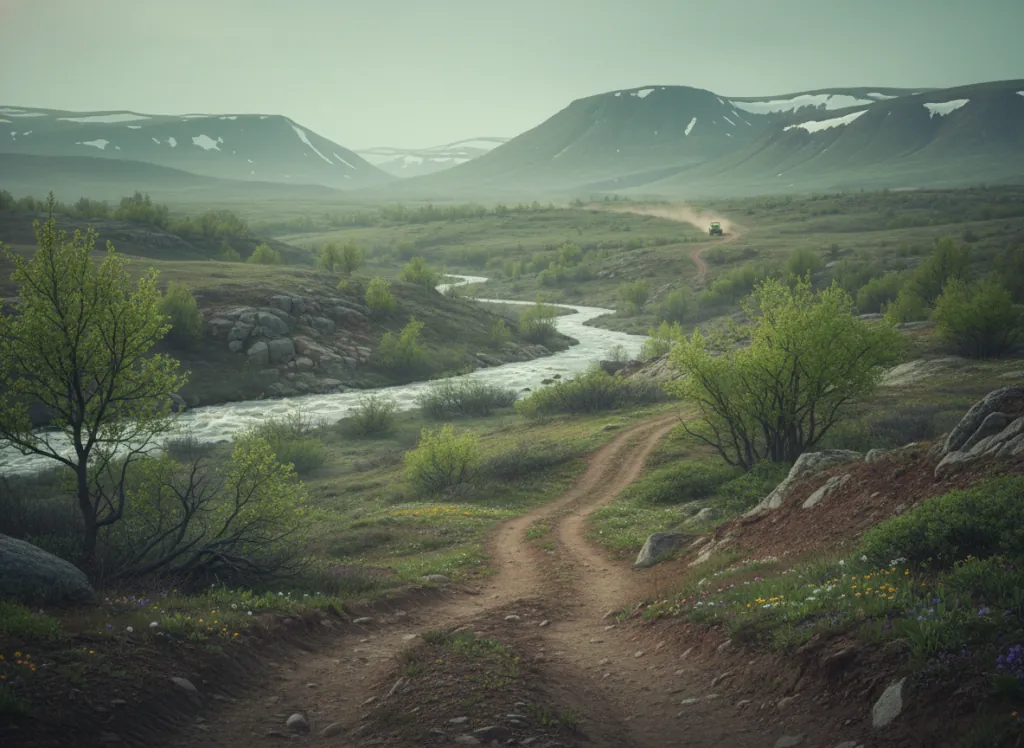
The Routt National Forest encompasses 1.1 million acres of northwest Colorado's Yampa River highland country in Routt, Jackson, Grand, and Moffat counties: the mountain terrain surrounding Steamboat Springs, one of Colorado's most celebrated ski towns and an increasingly prominent year-round mountain recreation hub, centered on the Park Range and Flat Tops that form the drainage divide between the Yampa and White River basins. The OHV trail system operates on designated routes across the forest's Hahns Peak/Bears Ears, Parks, and Yampa Ranger Districts, with the forest road network on the Park Range flanks and the high plateau country of the Flat Tops Wilderness margins providing the primary riding terrain. The Park Range, the Continental Divide spine running north-south through Routt County, reaches 12,180 feet at Mount Zirkel and supports a dramatic alpine landscape above treeline on the divide crest; designated OHV routes traverse the forested eastern and western flanks of the range through lodgepole pine and Engelmann spruce forest, with the Elk River valley north of Steamboat providing a particularly scenic riding corridor. The Flat Tops Plateau to the south (a high basalt tableland at 10,000-11,000 feet), forms one of the most distinctive landforms in Colorado, a broad forested mesa incised by the headwaters drainages of the White River on its southern face; designated OHV routes on the plateau margins provide access to this mesa-top terrain outside the Flat Tops Wilderness boundary. Steamboat Springs provides full-service resort infrastructure for OHV riders combining trail riding with ski-town amenities in the summer. Colorado OHV registration required. Hahns Peak/Bears Ears Ranger District at Steamboat Springs (970-870-2299) manages current Park Range OHV trail conditions.
Hours
Accessible approximately June through October; Gore Pass and Continental Divide routes close under snow. No day-use fee. Colorado OHV registration required.
Phone
970-870-2299Website
https://www.fs.usda.gov/mbrTrip openings, seasonal updates, and the occasional deal, straight to your inbox.
FAQ
Everything you need to know before you get started.
Have a question, or ready to book? Reach out and we’ll get right back to you.